Anavasi Mapp Offline Hiking & Navigation Platform
A feature-rich mobile application developed for hikers and outdoor explorers, offering offline navigation, GPS tracking, digital trail maps, and route planning to ensure safe and confident adventures anywhere.
Industry
Outdoor Recreation & Navigation
Deliverables
Flutter, Android, iOS
Platform
Android & iOS
Technology
Flutter

Project Overview
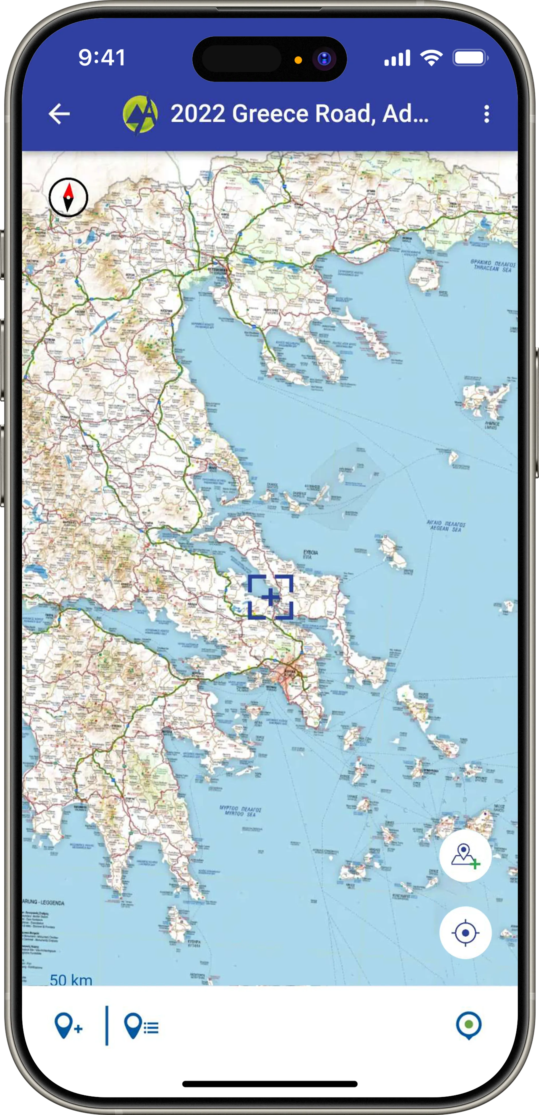
Anavasi Mapp is a comprehensive offline hiking and navigation application created for outdoor enthusiasts who require reliable map access even without an internet connection. The application combines detailed hiking maps, GPS positioning, trail guidance, emergency features, and personal route management into a seamless mobile experience.
Built using Flutter, the application delivers smooth performance across Android and iOS platforms while ensuring a consistent user experience. Users can explore hiking routes, navigate challenging terrains, create personal waypoints, and safely continue their journeys using offline digital maps powered by their device's GPS.
Our team developed the complete cross-platform mobile application with a strong emphasis on performance, usability, and reliability for outdoor environments where network connectivity may not always be available.
Key Features
Anavasi Mapp – Offline Hiking & Navigation Platform offers a set of features designed to address specific needs and deliver an optimal user experience:

Project Gallery


WANT SOMETHING SIMILAR?
Contact us now to get more insights and start building your idea.